Clustered Settlement 2026: Definition, AP Human Geography, and How Nucleated Patterns Work
Quick Answer
- A clustered settlement is a geographic term for a nucleated village where buildings are grouped closely around a central focal point .
- It is one of three main rural settlement patterns: clustered, dispersed, and linear .
- Clustered settlements are common in less developed countries with intensive agriculture and in historic European villages .
What Is a Clustered Settlement?
A clustered settlement is a rural settlement pattern where homes and businesses are tightly grouped around a central focal point.
The term is used interchangeably with “nucleated settlement” in geography and AP Human Geography courses . The central point could be a church, a village green, a commercial square, a railway station, or even a park .
The key feature is density. Buildings sit close together, not spread out across the landscape. New construction usually happens at the edge, so the settlement grows outward from the core.
Key Takeaway: Clustered and nucleated mean the same thing. If you see either term on the AP exam, you are looking at the same settlement pattern.
What Are the Three Rural Settlement Patterns?
Geography recognizes three main rural settlement patterns: clustered, dispersed, and linear .
Clustered settlements have buildings packed together around a central point. They are typical of villages in less developed countries where intensive agriculture requires cooperative labor .
Dispersed settlements feature isolated farmhouses spread far apart. This pattern is common in the western United States and other areas with extensive agriculture and large farms .
Linear settlements follow transportation routes like roads, rivers, or canals. Buildings arrange in a long, narrow line rather than a cluster or a scatter .
| Pattern | Layout | Typical Location |
|---|---|---|
| Clustered | Buildings grouped around center | LDCs, historic European villages |
| Dispersed | Farmhouses spread far apart | Western U.S., extensive agriculture |
| Linear | Buildings along roads or rivers | River valleys, transportation routes |
How Does AP Human Geography Define Clustered Settlement?
For AP Human Geography, a clustered settlement is defined as a nucleated pattern in which homes and businesses are tightly packed together around a central point .
The College Board expects students to identify clustered settlements on maps and explain why they form. The key reasons include:
- Defense: Grouping together offered protection in historic settlements
- Cooperation: Intensive farming required shared labor and resources
- Social structure: Villages formed around shared religious or community spaces
- Economic efficiency: Services and markets concentrated in one place
Clustered settlements are characteristic of 17th and 18th-century European villages and villages in less developed countries with intensive agricultural practices .
What Is the Difference Between Clustered and Nucleated?
There is no difference. Clustered settlement and nucleated settlement are the same thing .
Geography textbooks use both terms interchangeably. “Nucleated” emphasizes the central nucleus or core. “Clustered” emphasizes the grouping of buildings. Both describe the same pattern.
The Wikipedia entry for nucleated village redirects from “clustered settlement,” confirming they are synonyms .
On the AP exam, either term could appear. If you understand the concept, you can answer regardless of which word the question uses.
Why Do Clustered Settlements Form?
Clustered settlements form for several practical reasons rooted in agriculture, defense, and social organization.
Intensive agriculture requires many hands working small plots of land. Farmers live close together to share labor and tools .
Defense was a major factor in historic settlements. Grouping houses around a central point made communities easier to protect from attackers .
Water access and fertile soil often determined where a village formed. Once a settlement established itself at a good water source, it grew outward from that core.
Social and religious centers like churches or village greens naturally attracted clustered housing. In medieval Europe, the church was often the focal point of village life .
What Is a Dispersed Settlement and How Does It Differ?
A dispersed settlement is the opposite of a clustered settlement. Buildings are spread far apart, often as isolated farmhouses .
Dispersed settlements occur with extensive agriculture and large farms. Machinery allows one family to work a large area, so farmers do not need to live close together .
The western United States is a classic example. Township and range survey methods created large, rectangular farm plots that spread families across wide distances .
| Feature | Clustered | Dispersed |
|---|---|---|
| Building density | High, grouped | Low, isolated |
| Agriculture type | Intensive | Extensive |
| Survey method | Metes and bounds | Township and range |
| Example region | Historic European villages | Western United States |
What Is a Linear Settlement?
A linear settlement follows a transportation route, such as a road, river, or canal .
Buildings arrange in a long, narrow line rather than a cluster or a scatter. The settlement may have no obvious center. It simply stretches along the route that made it possible.
Linear settlements often form where geography restricts building. A narrow valley, a coastline, or a single road can force houses into a line .
The long lot survey method, used in French colonial areas like Louisiana and Quebec, creates linear settlement patterns because each farm has narrow frontage on a river or road .
How Do Survey Methods Relate to Settlement Patterns?
Different land survey methods produce different settlement patterns. This connection is tested on the AP exam .
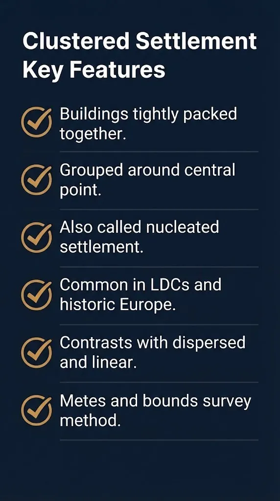
Metes and bounds surveys use natural landmarks and irregular boundaries. They coincide with clustered or nucleated settlement patterns .
Township and range surveys create a grid of rectangular parcels. They coincide with dispersed settlement patterns because each farm sits on its own large plot .
Long lot surveys give each farm narrow frontage along a river or road. They coincide with linear settlement patterns .
| Survey Method | Settlement Pattern | Key Feature |
|---|---|---|
| Metes and bounds | Clustered/Nucleated | Irregular, natural boundaries |
| Township and range | Dispersed | Rectangular grid parcels |
| Long lot | Linear | Narrow river or road frontage |
Frequently Asked Questions
What is a clustered settlement in simple terms?
A clustered settlement is a village where houses are packed close together around a central point like a church or green.
It is the same as a nucleated settlement.
Is clustered the same as nucleated?
Yes. Clustered settlement and nucleated settlement mean exactly the same thing in geography .
Both describe buildings grouped around a central focal point.
What are examples of clustered settlements?
Historic European villages are classic examples. Shapwick in Somerset, England is a nucleated village .
Villages in less developed countries with intensive farming also follow clustered patterns.
Why do nucleated settlements form?
They form for defense, cooperation in intensive farming, and proximity to shared resources like water or religious centers .
Grouping together offered practical advantages in historic communities.
What is the difference between clustered and dispersed settlements?
Clustered settlements have buildings packed together. Dispersed settlements have isolated farmhouses spread far apart .
Clustered patterns suit intensive farming. Dispersed patterns suit extensive farming with large plots.
How do I identify a clustered settlement on a map?
Look for buildings grouped tightly around a central feature like a church, crossroads, or green.
If the houses are spread out, it is dispersed. If they follow a line, it is linear.
Which survey method goes with clustered settlements?
Metes and bounds surveys coincide with clustered or nucleated settlement patterns .
These surveys use natural landmarks and create irregular boundaries.
Is a clustered settlement rural or urban?
Clustered settlements are typically rural villages, not urban areas.
They are one of the three rural settlement pattern types along with dispersed and linear.
For AP Human Geography, remember three things: clustered equals nucleated, the pattern features buildings around a central point, and it contrasts with dispersed and linear patterns. If you can identify these on a map and explain why they form, you have the concept mastered.